

Geospatial Solutions in Road and Transport Projects: From Surveying to Asset Management
Geospatial solutions in road and transport projects provide accurate spatial data that supports the understanding of project sites, documentation of their components, and management of related information throughout the asset lifecycle.
With the expanding scope of road, transport, and infrastructure projects within large-scale development and smart city initiatives, the role of Geographic Information Systems (GIS) has evolved beyond mapping and location identification. GIS has become an integrated platform that connects field and operational data to support decision-making and efficient asset management.
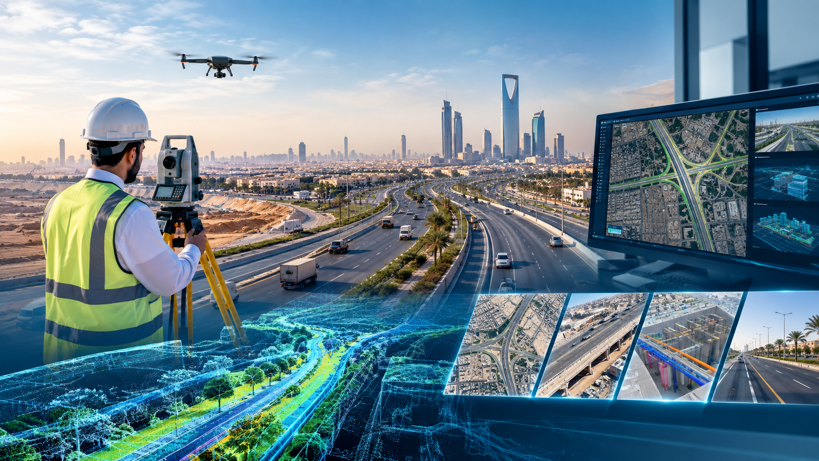
Surveying and Field and Aerial Data Collection Technologies for Assets
The process begins with accurately capturing existing site conditions through advanced technologies for collecting above-ground, aerial, and underground data:
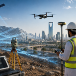
- Topographic Survey provides the initial geodetic and spatial foundation for collecting ground elevations and terrain information and documenting site components according to project requirements while linking them to the approved national geodetic reference system (KSA-GRF).
- Mobile Mapping Systems enable the collection of large volumes of point cloud data and high-resolution panoramic imagery while the survey vehicle moves along roads. This allows long road corridors, road assets, utilities, and right-of-way areas to be surveyed and documented efficiently.
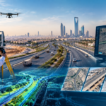
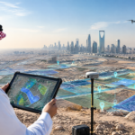
- Unmanned Aerial Vehicle (UAV) Surveying provides aerial coverage that offers a comprehensive view of site conditions, overall layouts, and urban development. The surveys can also be repeated to monitor changes and support temporal comparisons.
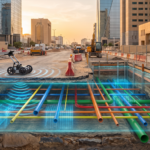
- Ground Penetrating Radar (GPR) and Geophysical Surveys support the detection, inventory, and documentation of underground utility networks, including water, gas, electricity, and telecommunications, helping reduce the risks associated with unplanned excavation.
GIS as an Interactive Platform in Smart Cities and IoT Integration
Geographic Information Systems form a central component of smart city environments by connecting spatial data with real-time operational information:
- Data from different sources, including roads, municipal services, and urban development, can be organized within a unified geodatabase.
- Integration with the Internet of Things (IoT) enables field sensors, such as pollution, flow, and traffic sensors, to be linked to their geographic locations, allowing operational changes to be displayed on maps as they occur.
- Traffic movement and municipal services can be managed and analyzed spatially across road networks. This supports the analysis of traffic patterns, planning of transport projects, and balanced distribution of municipal services such as waste management and field maintenance.
Road and Infrastructure Asset Management
The digital map evolves into an integrated interface for managing assets and monitoring their operational condition:
- A spatial asset registry can link each asset, such as a pipe, valve, lighting pole, traffic sign, or road marking, to its geographic location and descriptive information, including expected service life, material, installation date, and responsible maintenance entity.
- Predictive Maintenance uses historical failure data and asset age information to support the transition from emergency maintenance toward preventive and predictive maintenance, while helping schedule service requests and direct field teams through efficient routes.
- Network Analysis and Trace Analysis can support automated simulation of affected network sections during leaks or failures in water and gas networks, as well as analysis of network capacity to help identify potential bottlenecks.
- Utility and Road Asset Documentation supports the identification of conflicts between road assets and intersecting utilities and the development of a spatial registry for road signs and traffic assets that can be updated during maintenance or modification activities.
Dashboards and Digital Twins
The integrated system transforms collected spatial data into analytical and forward-looking models that support decision-makers:
- Urban Growth Monitoring: GIS can be used to compare spatial data across different time periods to identify development trends and changes in land use.
- Interactive Dashboards: Digital interfaces can combine maps with operational indicators and KPIs, providing decision-makers with a concise view of project and asset conditions.
- Digital Twins: A three-dimensional digital model can represent existing conditions by integrating GIS with modeling technologies such as 3D GIS and BIM. This enables the analysis of scenarios and potential future changes before their implementation in the field.
Alqotr: Integrated Geospatial Solutions for Road and Smart City Projects
Alqotr provides an integrated engineering workflow that supports projects from field data collection through to decision-making:
- Advanced Data Collection and Surveying: Providing Topographic Survey, UAV aerial surveying, Mobile Mapping, and utility detection using GPR.
- Unified Spatial Database Development: Building spatial databases while considering relevant GEOSA standards and applicable national requirements for naming, classification, and metadata management.
- GIS and Asset Management Integration: Integrating field survey outputs into a centralized database and developing field applications and interactive dashboards, with the potential to integrate them with asset management systems such as ERP, SAP, and Maximo.
- Digital Modeling and Digital Twins: Transforming spatial data into three-dimensional models and analytical dashboards that support predictive maintenance and the development and management of road and infrastructure assets.
Through this technical integration, the map evolves from simply identifying the location of an asset into an interactive knowledge platform that helps organizations understand site conditions, monitor asset performance, and establish a reliable foundation for engineering and management decisions.