

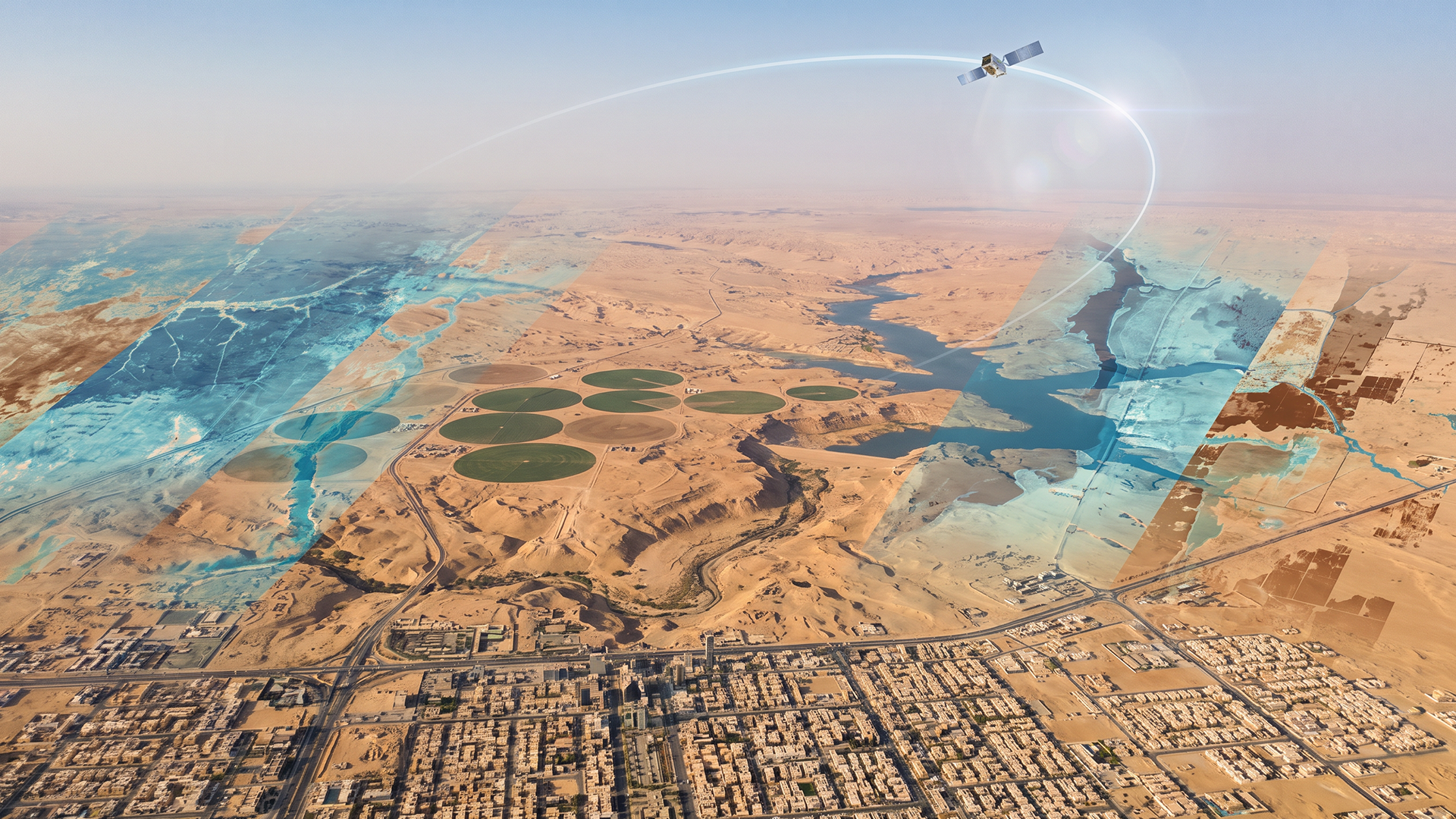
Remote Sensing and Resource Management: How Satellite Data Helps Monitor Environmental Changes
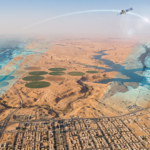
Modern remote sensing technologies provide frequent and accurate spatial data about the Earth’s surface, making them essential tools for monitoring natural resources and detecting cumulative changes over time. Satellite imagery and aerial surveying are among the leading technologies in this field, given their ability to cover extensive geographic areas and provide data that can be analyzed to extract spatial and spectral indicators. These indicators help assess the condition of water bodies, identify drought patterns, and monitor broader environmental changes. The value of such data increases when integrated with ground-based data and field studies, enabling a connection between satellite observations and direct field information to provide a more accurate and comprehensive understanding of resource conditions and the surrounding environment.
Monitoring Water Bodies and Water Resources
Remote sensing is an essential tool for monitoring surface water bodies, including saline and freshwater bodies, dams, and lakes, and tracking changes in their extent and area over time:
- Remote sensing data enables comparisons of water bodies at different points in time and helps identify areas that have experienced significant changes in water extent or surrounding environmental zones.
- Repeated surveys provide periodic spatial information for monitoring seasonal and hydrological changes across large areas.
- This continuous monitoring provides a means of understanding hydrological changes without relying entirely on costly field monitoring at every location and during every period.
Drought Monitoring and Time-Series Analysis
Remote sensing data helps monitor indicators associated with drought and water stress by analyzing changes in vegetation cover and certain surface soil characteristics and comparing them across successive time periods:
- Time-series satellite imagery enables the identification of areas experiencing declines in vegetation indicators or persistent changes in moisture conditions, providing early spatial information for monitoring drought patterns.
- Spatial analysis helps direct attention and engineering solutions toward locations showing exceptional indicators that require further field investigation.
- These indicators do not represent a standalone measure of drought; rather, they form part of an integrated spatial data framework combined with climate information and ground-based data to support a comprehensive assessment.
Integrating Satellite Data with Ground Measurements
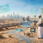
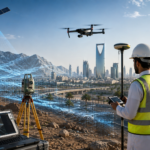
Despite the broad coverage of satellite and aerial data, their full value is achieved when integrated with ground-based and geospatial measurements. Field measurements and observations provide essential information for validating satellite-derived results and interpreting the causes of observed changes. Satellite and field data can be integrated within a Geographic Information System (GIS) environment to link analyses to actual locations and provide a unified strategic perspective that combines the broad coverage of satellite observations with the accuracy of ground measurements.
Supporting Planning, Decision-Making, and Resource Management
The practical value of remote sensing lies in transforming complex satellite data into actionable outputs and insights that support planning and resource management. Following image processing and indicator extraction, accurate maps and spatial datasets can be produced to illustrate the condition of water bodies and drought patterns. These outputs can be used to identify areas requiring priority monitoring, compare changes over time, and support planning and environmental decisions based on reliable and up-to-date information.
Alqotr.. A Leader in Remote Sensing and Geospatial Data Solutions
Alqotr provides an integrated range of advanced solutions based on remote sensing and geospatial data to support resource monitoring and environmental change assessment in the Kingdom of Saudi Arabia:
- Processing and analyzing satellite imagery using advanced technologies to extract spatial and spectral indicators with high accuracy.
- Monitoring water and vegetation resources through periodic studies covering vegetation, water bodies, temporal change analysis, and drought monitoring.
- Integrating field and satellite data to connect remote sensing analyses with ground data and surveying networks, supporting the development of comprehensive and reliable geospatial models.
- Supporting decision-makers through interactive maps, analytical reports, and spatial databases that enable government and private-sector entities to manage resources and plan projects efficiently and sustainably.
As the need for continuous monitoring of natural resources and the environment continues to grow, remote sensing provides an important scientific and practical tool that combines broad coverage, periodic updates, and accurate spatial and temporal analysis.