Technical Manpower Supply
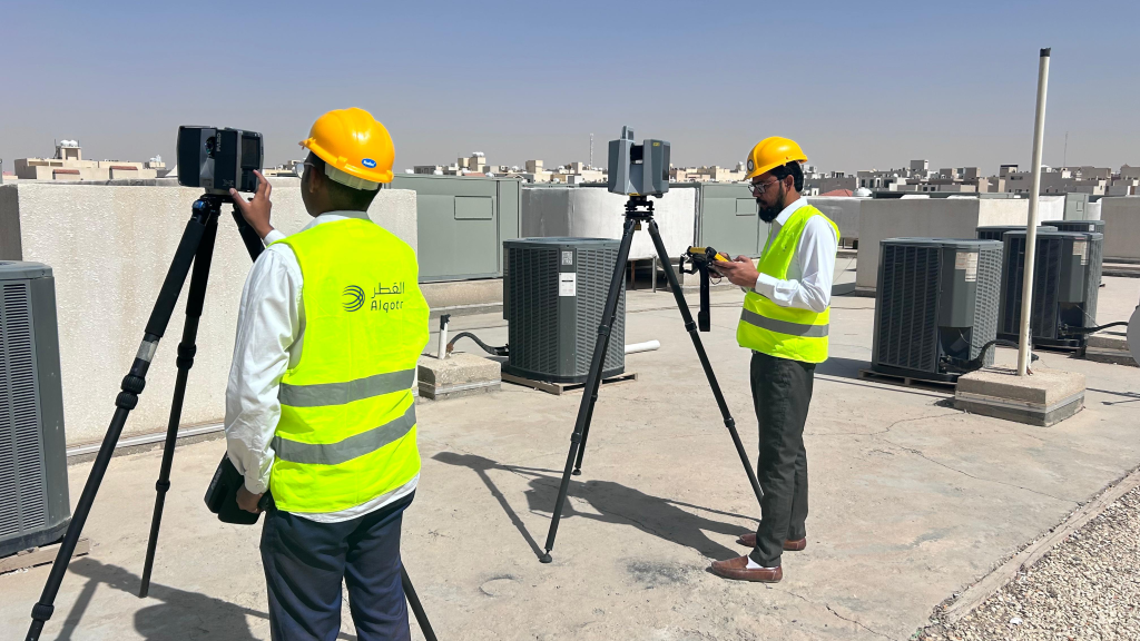
Our Technical Manpower Supply services at Alqotr are designed to cater to the specific requirements of our clients, especially in the fields of GIS, surveying, urban planning, and various engineering applications. We understand the crucial importance of these disciplines in modern projects and developments, which is why we prioritize providing highly skilled professionals with expertise in these areas. Be it GIS analysts, surveyors, urban planners, or engineers, we ensure that our workforce is proficient in utilizing the latest technologies and methodologies to deliver exceptional results.
Our services:
- Survey Crews.
- Qualified Technicians and Engineers (GIS, Surveyors, Urban planners, Geomatics engineer).
Due Diligence Services
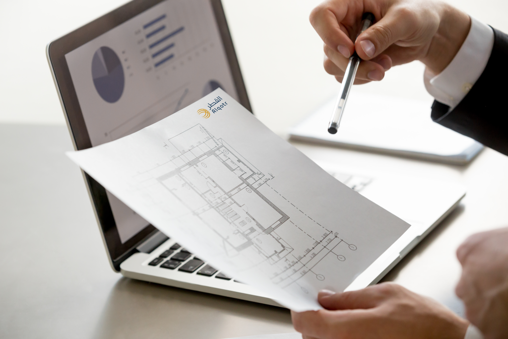
At Alqotr, we specialize in providing comprehensive Due Diligence Services, an essential study conducted using the latest technology to gather all necessary data and formulate detailed reports for decision-makers involved in the master planning process. Our meticulous approach ensures that every aspect of the project is thoroughly examined and analyzed, allowing our clients to make well-informed decisions based on accurate and reliable information. Whether it’s assessing the feasibility of a development project.
Our services:
- Site analysis: Examination of the physical characteristics of the site, including topography, soil conditions, environmental factors, and infrastructure availability.
- Legal and regulatory review: Assessment of zoning regulations, land use restrictions, building codes, permits, easements, and other legal considerations that may affect the project.
- Market analysis: Evaluation of the local real estate market, including demand for similar developments, competition, demographics, and economic trends.
- Financial analysis: Calculation of project costs, revenue projections, potential financing options, and return on investment to determine the project’s financial feasibility.
- Risk assessment: Identification and analysis of potential risks and challenges, such as environmental liabilities, political factors, market fluctuations, and community opposition.
- Stakeholder engagement: Consultation with relevant stakeholders, such as community members, local authorities, environmental agencies, and other interested parties, to gather input and address concerns.
Environmental assessment services
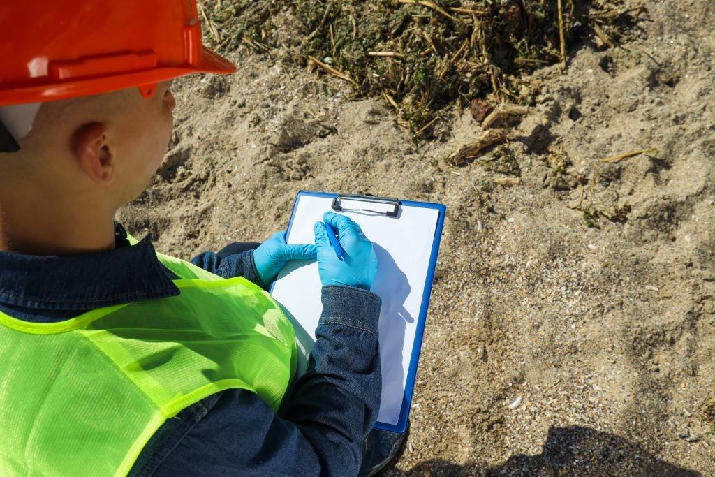
At Alqotr, we offer a comprehensive range of environmental assessment services tailored to meet diverse client needs. From Environmental Impact Assessments (EIAs) to Soil and Sediment Testing, Ecological Assessments, Hydrology Studies, and Environmental Training Programs, our expertise ensures informed decision-making, risk mitigation, and regulatory compliance. Whether evaluating project impacts, identifying contamination risks, or empowering stakeholders with environmental knowledge, we are committed to driving sustainable practices and environmental stewardship for a greener future.
Our Services:
- Environmental Impact Assessments (EIAs).
- Environmental Site Assessments (ESAs).
- Soil and Sediment Testing.
- Ecological Assessments.
- Hydrology study and risk assessment.
- Environmental Training and Awareness Programs.
Facilities and Infrastructure (GPR)
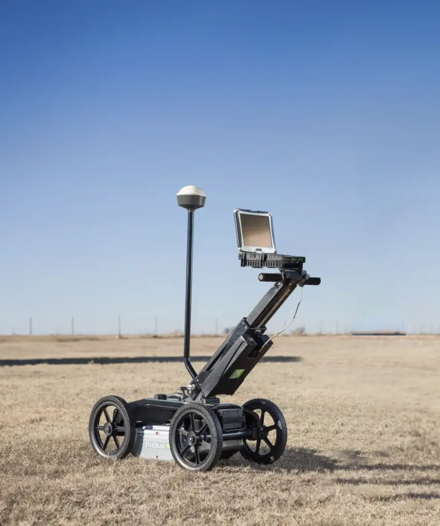
Ground Penetrating Radar (GPR) is highly effective in locating and distinguishing a diverse range of materials, both metallic and non-metallic.
Its efficacy is optimized when there exists a significant contrast in the electromagnetic properties of the materials under survey.
Metallic objects, such as reinforcement within concrete structures, are particularly favourable targets for detection.
Our services:
- Metallic objects: Metal reinforcement in concrete, buried pipes, underground storage tanks, and anything made of metal.
- Non-metallic utilities: Plastic pipes, ceramic pipes, fiberglass pipes, and PVC conduits.
- Concrete structures: Voids, cracks, delamination, rebar spacing, and thickness variations in concrete structures such as bridges, pavements, and buildings.
- Soil variations: Changes in soil density, moisture content, and compaction, which can indicate underground features like voids, tunnels, or buried objects.
- Rock and bedrock features: Fractures, voids.
- Utilities: Underground cables (e.g., electrical, communication), water mains, sewer lines, and drainage systems made of various materials.
- Environmental hazards: Underground storage tanks, contaminants, and waste materials that can pose environmental risks.
Mobile Mapping System
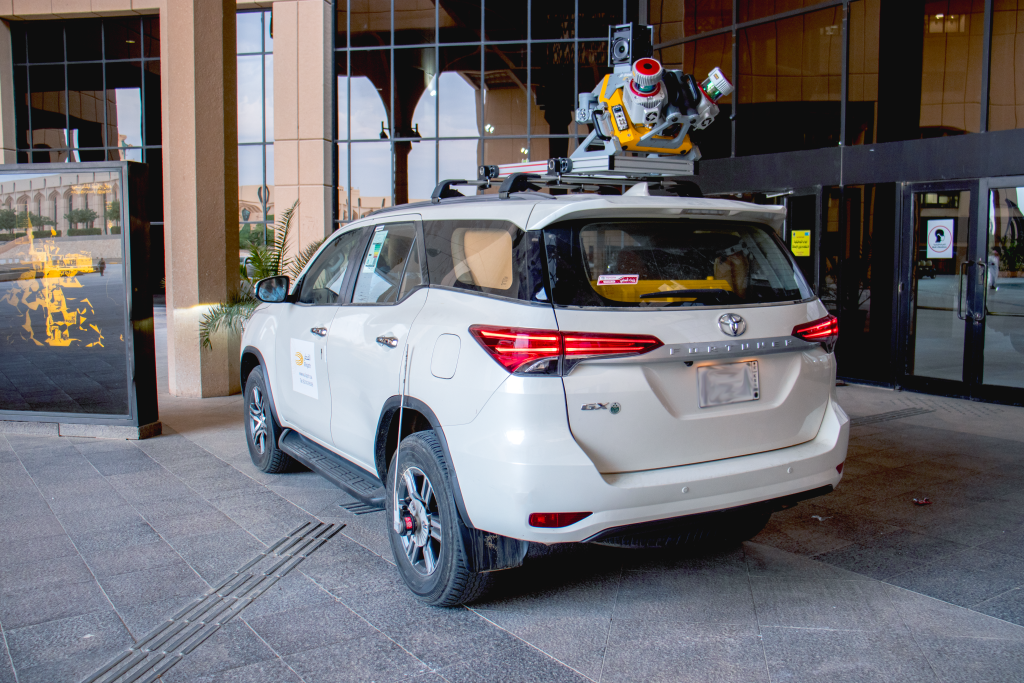
Mobile Mapping Solution is capturing high resolution data from street-level for Large-Scale Scanning and Mapping Missions, Delivering Data Confidence, Precision and High Efficiency of all visible assets.
Mobile Mapping technology capturing dense LiDAR data along with 360° high resolution georeferenced images using of sophisticated 360° high resolution optical camera systems in combination with LiDAR data acquisition sensors that can be mounted on vehicle.
Our services:
- Road, Railways, Pipelines corridor survey and management
- Smart city mapping or modelling
- Optical (pollution or Distortion) Survey
- Asset management survey
Infrastructure and Subsurface Mapping
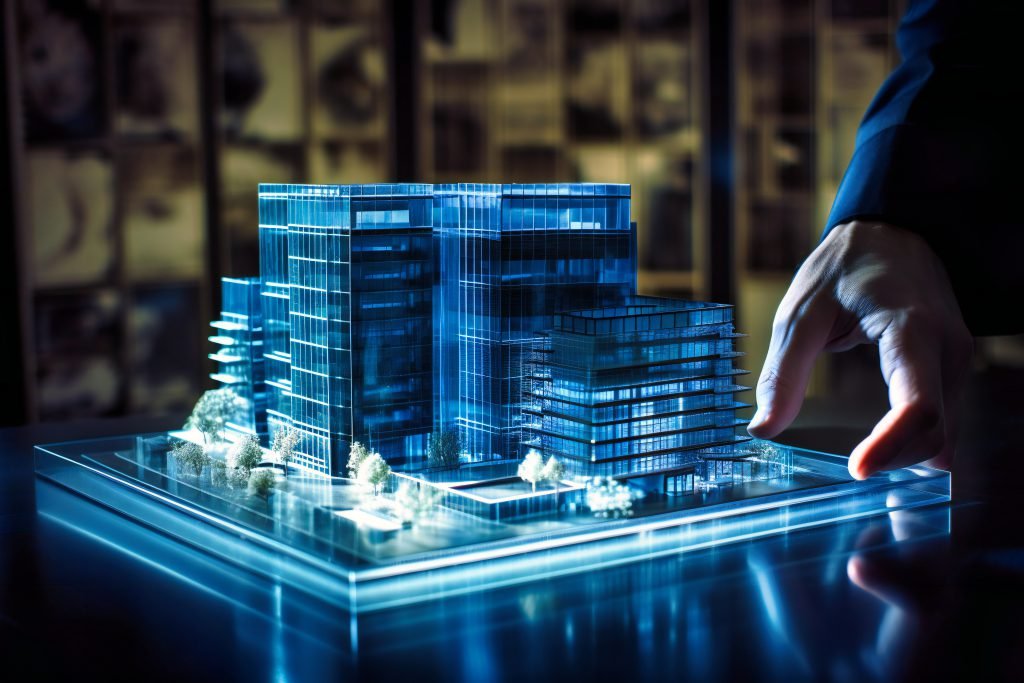
Ground Services include geological investigation for accurate and comprehensive analysis and exploration of ground layers. This approach contributes to understanding the structure of the earth and geological discoveries, supporting effective project planning and reducing environmental risks and geological impacts. Advanced geological analysis helps to identify the characteristics of ground layers and classify them, enabling engineers to make accurate decisions regarding project design. It also helps to improve safety procedures and reduce potential problems. Additionally, detailed analysis can reveal potential opportunities for effective and sustainable utilization of natural resources.
Urban Planning
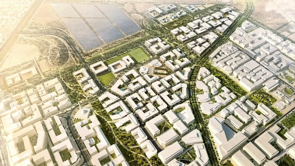
In Urban Planning Department, we work on the appropriate design for all spaces used by humans, to achieve a concept of the human cities, which includes streets, city centres, residential neighbourhoods, suburbs, open and recreational areas, industrial areas, etc. Urban planning determines the nature of buildings, their design, their location, the distances between them, and the ways to connect them to each other. In order to improve the general view of the physical environment.
Our services:
- Regional & Strategic planning.
- Master planning.
- Urban design.
- Detailed planning.
- Environmental & sustainable planning.
- Landscape Architecture.
Digital Twin
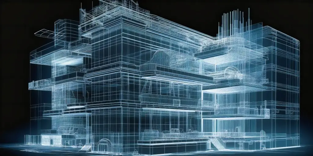
Alqotr Co provide a true & accurate model of a building in use, replacing design assumptions with real data and physics enabled calculations to result in a calibrated or operational model of the building which updates and responds in real-time.
Digital Twins are complex and key to achieving a decarbonized built environment.
Our services:
- Smart Cities Modeling and management.
- Smart assets Management.
- Digital Twins Platforms.
- Projects life cycle.
BIM

Building Information Modeling (BIM) is a new way of approaching the design and documentation of various types of building projects. It is an intelligent digital representation of the physical and functional characteristics of a facility.
BIM Utilizing 3D laser scanners, drones, and other technologies for precise site surveying and Modeling.
Our services:
- Scan to BIM.
- Documentation – Historical Buildings.
- Condition Assessment.
- Maintenance Program.
- Pipes modeling for factories, Power & energy stations and petrochemical plants.
Geographic Information System (GIS)
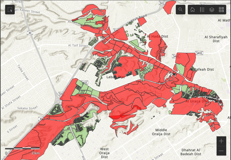
At Alqotr Co, we pride ourselves on blending the perfect harmony of art and science to deliver precise and innovative solutions to our clients.
With a wealth of experience in Digital Photogrammetry, Digital Orthophotography, LiDAR Data processing, and Topographic and Planimetric Mapping, we aiming to be at the forefront of technology, ensuring unparalleled service in the Kingdom of Saudi Arabia and beyond.
Our services:
- Maintaining & Upgrading Geodatabase.
- Geoportals And Applications Development.
- Digital Maps & Plans.
- Spatial Analysis.
- Raster to vectors services.
- Create DEM / DSM / DTM.
- Satellite Image Enhancement.
- Spatial Feature Extraction.
- Image Processing.
- Cadastral, Topographic, Geologic, Indoor, Temperature, Thematic & Utility Maps.

