
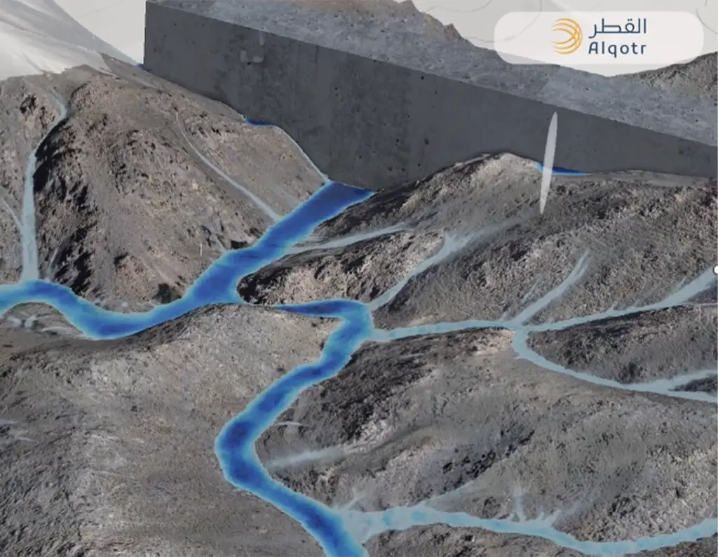
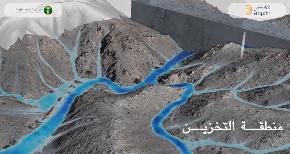
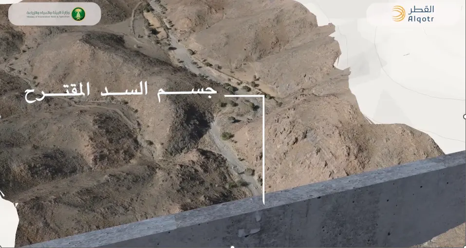
The project scope encompasses the generation of 3D Digital Terrain Models (DTM) for 300 proposed dam construction sites across various regions of the Kingdom. Site areas ranged from 1 km² to 60 km². Unmanned Aerial Vehicle (UAV) mapping technology was employed to achieve a Ground Sample Distance (GSD) of 3 cm. Additionally, the project included establishing three Ground Control Points (GCPs) at strategic locations within each site to serve future construction phases. This was executed using high-precision static GPS/GNSS observations, achieving pinpoint accuracy of up to 3 millimeters.