
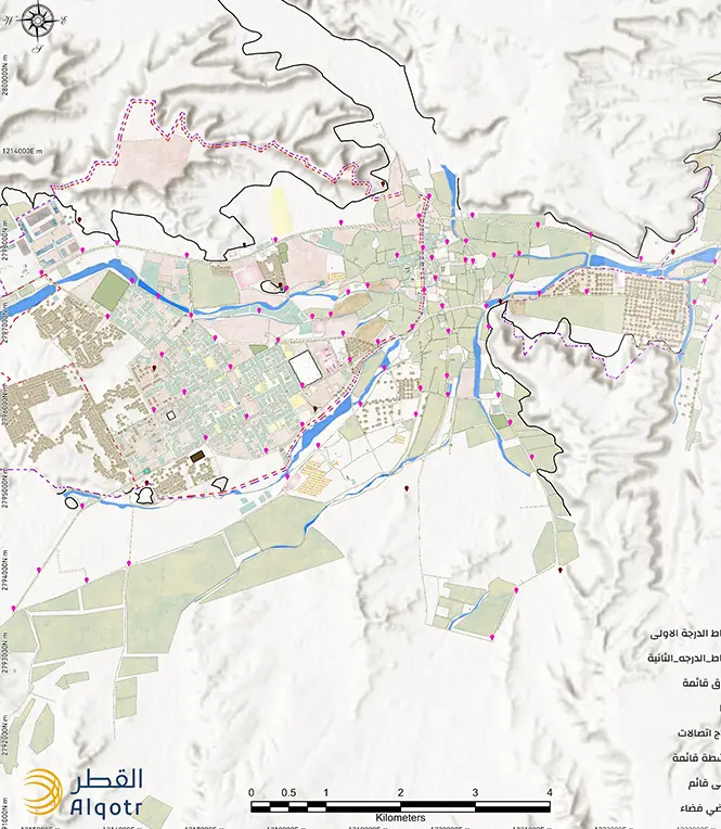
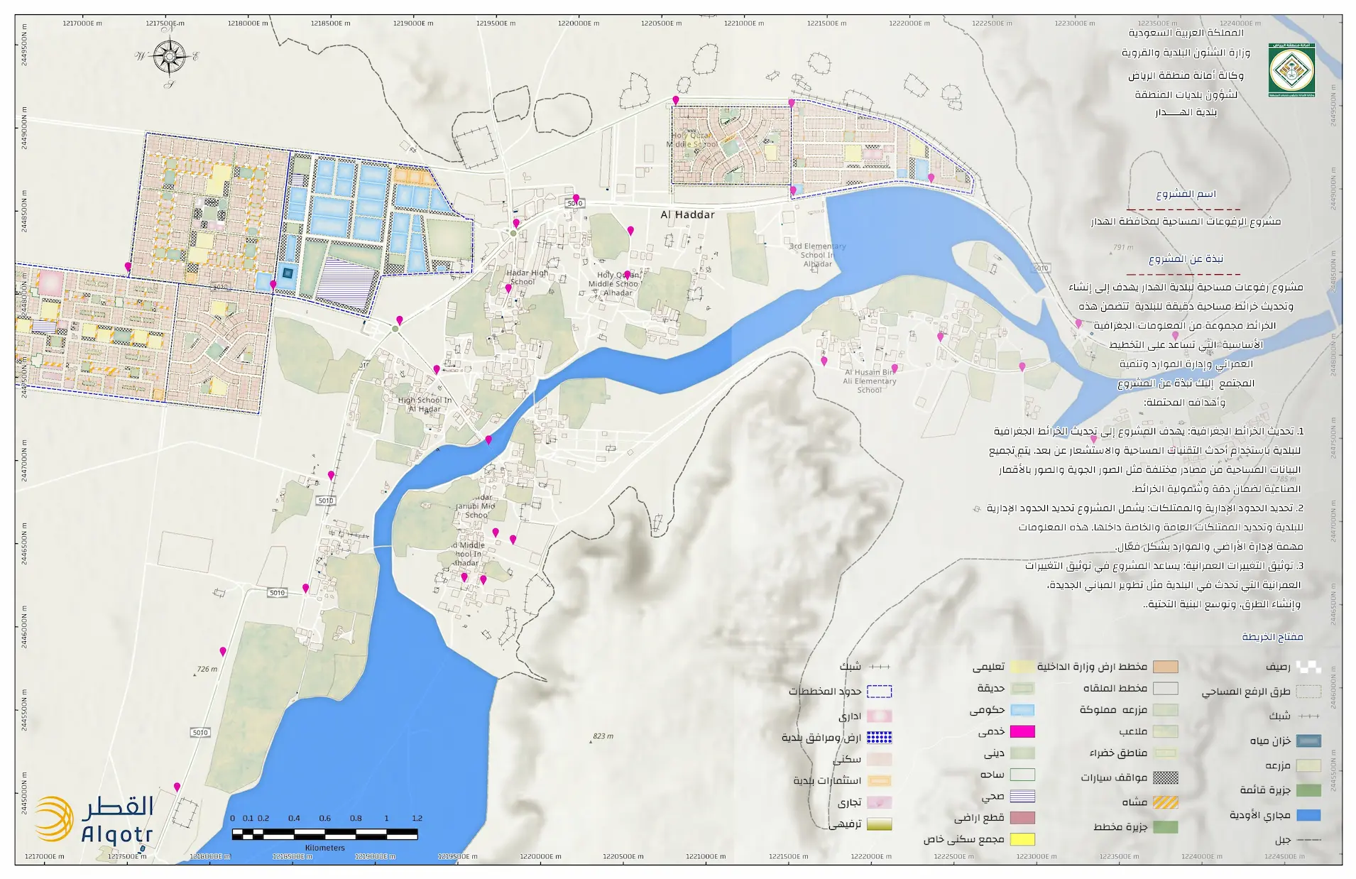
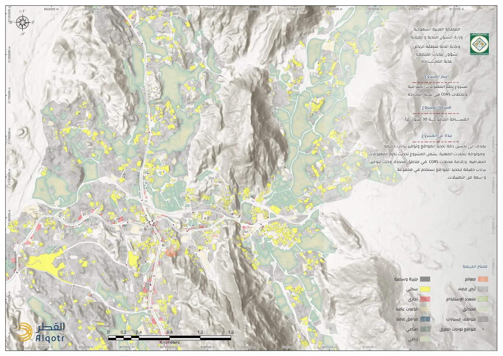
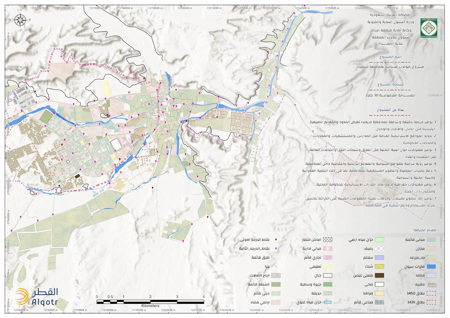
The project aims to study and analyze urban master plans alongside spatial data, consolidating them into a unified geospatial database. This significantly improves land administration and streamlines urban planning and development processes. The project leverages state-of-the-art geospatial technologies to ensure data integrity and seamless access for relevant stakeholders. Key Advantages:
Improving the accuracy and manageability of spatial data.
Providing a centralized platform to support data-driven decision-making.
Enhancing the efficiency of urban planning and spatial management. Through this initiative, the application of geospatial data is fortified to support sustainable development strategies and uphold the highest standards of accuracy in urban planning.