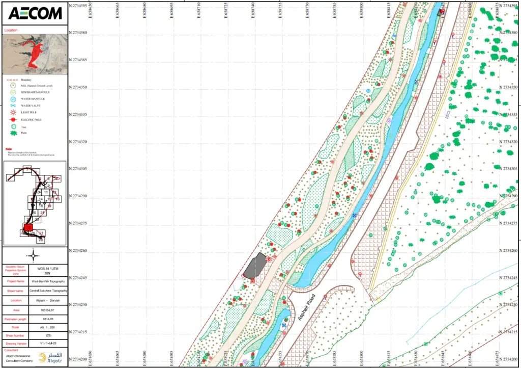
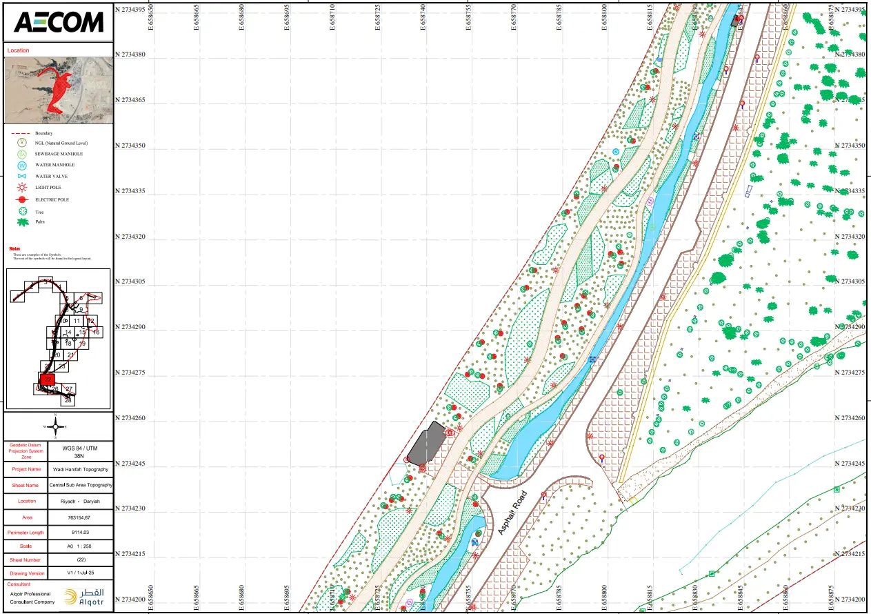
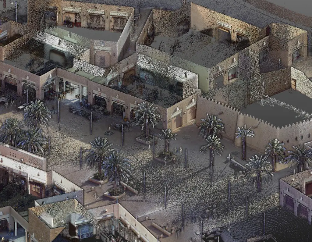
Execution of a comprehensive topographic survey capturing all visible natural and man-made features, in strict compliance with the Royal Institution of Chartered Surveyors (RICS) standards. The project utilized dual-frequency GPS/GNSS technology, alongside the densification of high-precision reference points, to guarantee that accuracy levels met the required specifications.
