
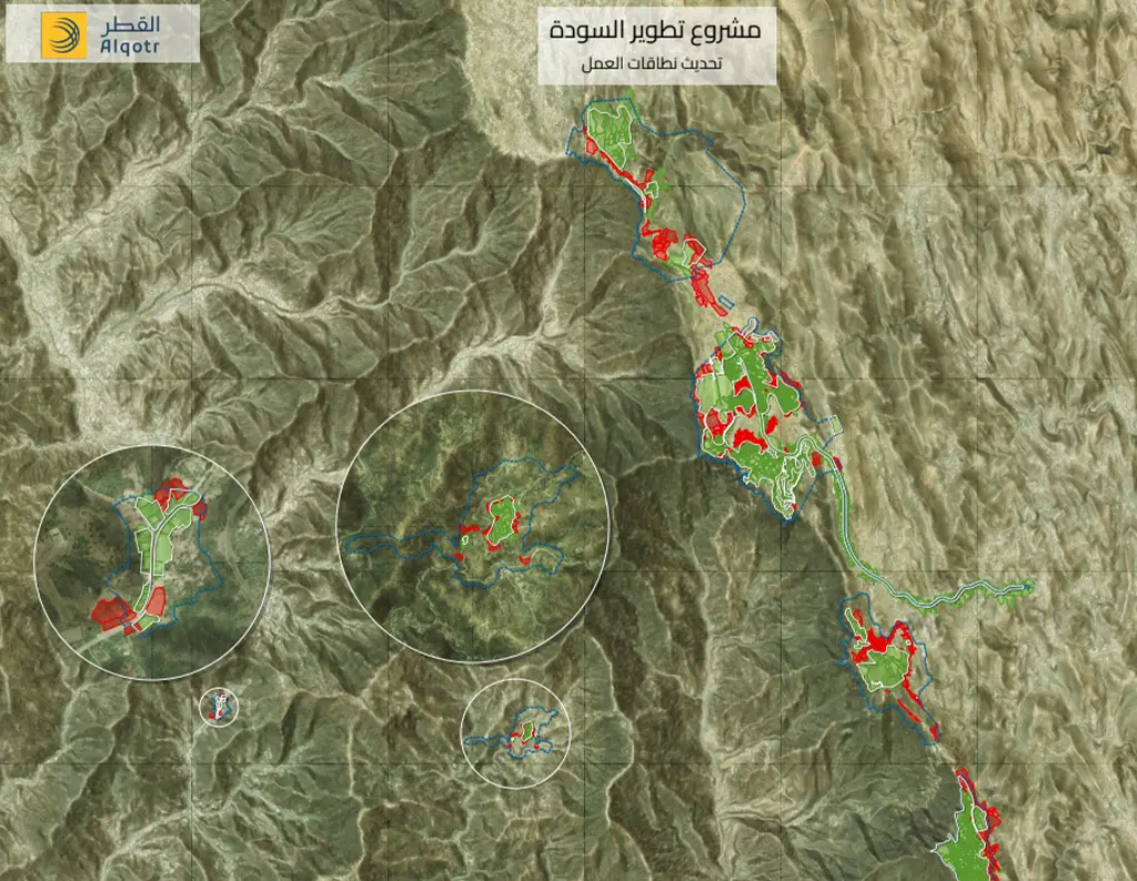
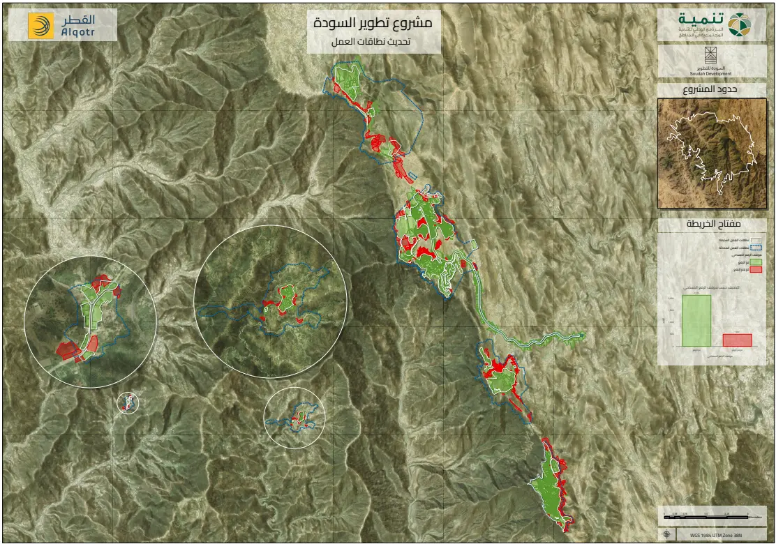
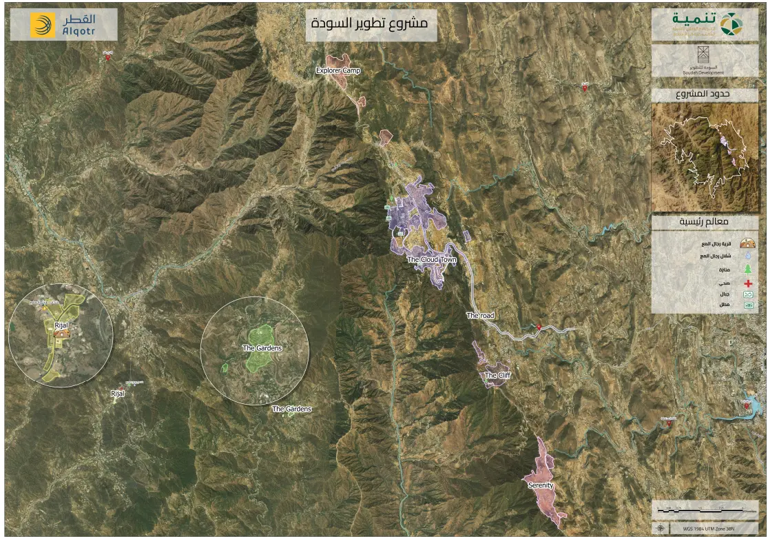
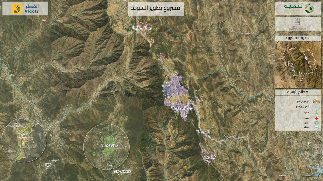
The Al Soudah property ownership study aims to leverage advanced satellite imagery to conduct a comprehensive cadastral analysis within the target area. The project relies on analyzing spatial data and satellite imagery to accurately delineate property boundaries, providing a holistic overview of the real estate landscape. This approach significantly enhances procedural accuracy while optimizing time and effort during execution.